Ever heard of a Salmon Park? We’re honoured to support this indigenous-led initiative to decolonize the land and waters with stewardship, respect and care through ground-truthing and applied ecology.
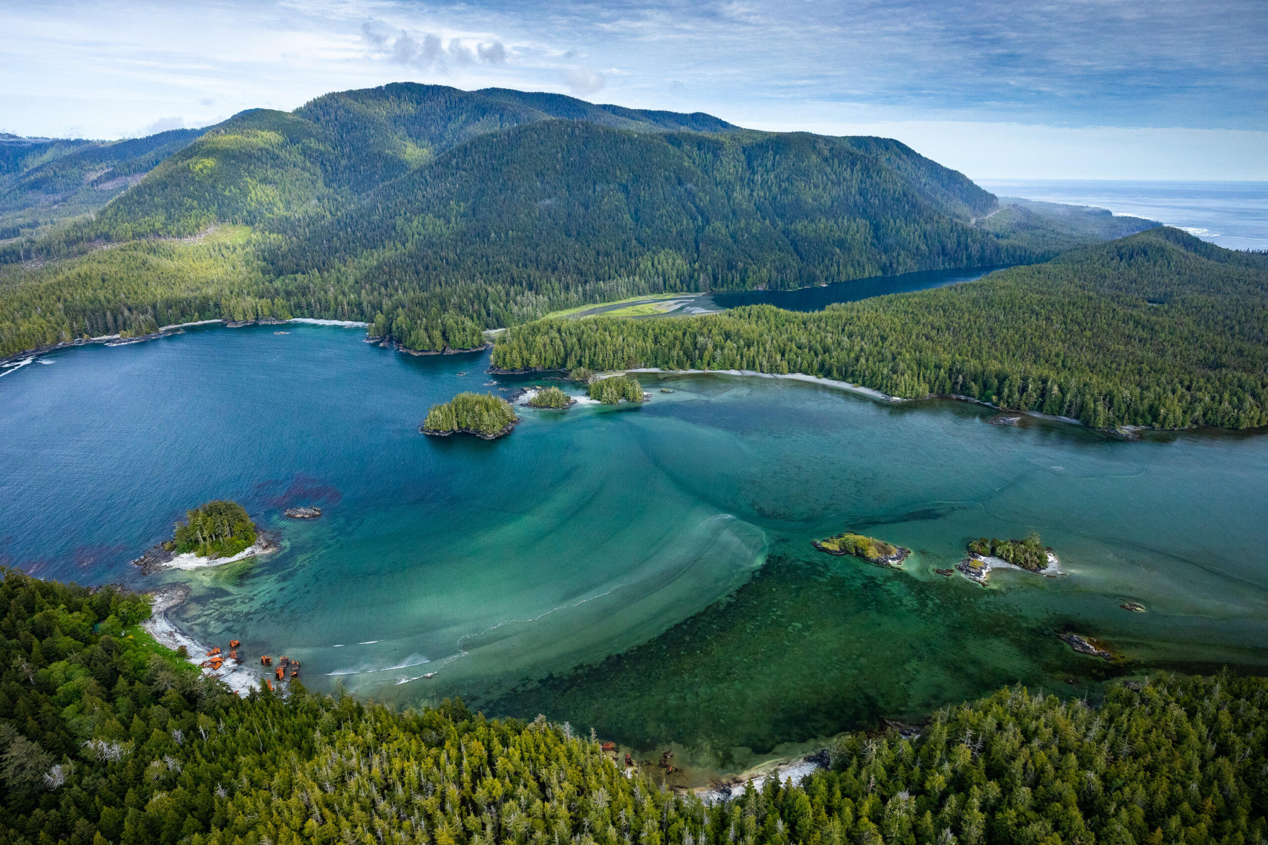
Louie Bay at Nootka Island. Image courtesy of TJ Watt/ Ancient Forest Alliance.
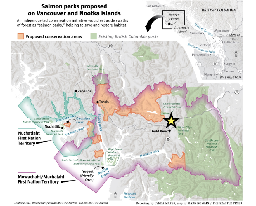
Salmon Parks is an Indigenous-led conservation approach to restore wild salmon by recovering key watersheds in Nootka Sound, on Vancouver Island’s west coast. The region has been significantly transformed by logging and deforestation, with massive implications for salmon and the local economy. As a model, Salmon Parks empower Mowachaht/Muchalaht First Nation (MMFN) to protect their unceded waters and land and secure a healthy future for salmon, for everyone.
We are grateful to come into contact with – and practice – the wisdom of Nuu-chah-nulth knowledge, values and guiding principles, which underlie the Salmon Parks project. They are:
- HISHUK-ISH-TSA’WALK = Everything is connected;
- ISAAK = Respect for all;
- UU-A-THLUK = Taking Care Of;
What is Ground-Truthing?
After months of collaborative project development with MMFN and Gentian Ltd, in July 2024 Ecotone led the ground-truthing campaign to validate and inform Gentian’s high-resolution habitat maps. Maps are abstract by definition, so evidence collected on the ground through direct observation and measurement (i.e., ground-truthed) can improve their meaning by validating, correcting and/ or refining the results. This post offers visuals and impressions from the ground-truthing campaign. It does not disclose any results.
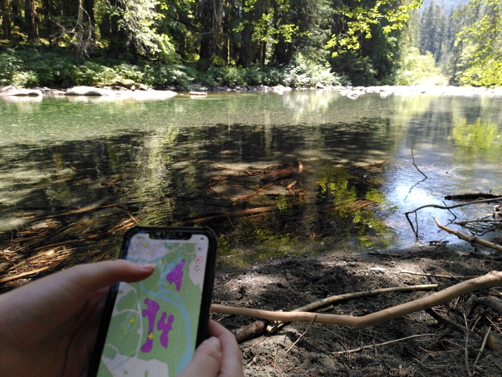
Gentian’s software uses high-resolution satellite imagery (<50 cm resolution) and machine learning, or artificial intelligence (AI), to quickly and accurately map habitats, at a fraction of the cost of typical surveys. Since the maps identified a number of habitat types, the ground-truthing campaign described the vegetation and trees in at least 2 plots per habitat type, in order to capture variability (e.g. related to altitude, elevation, aspect, slope, soil moisture, etc.). In other words, ground-truthed data can train the model.
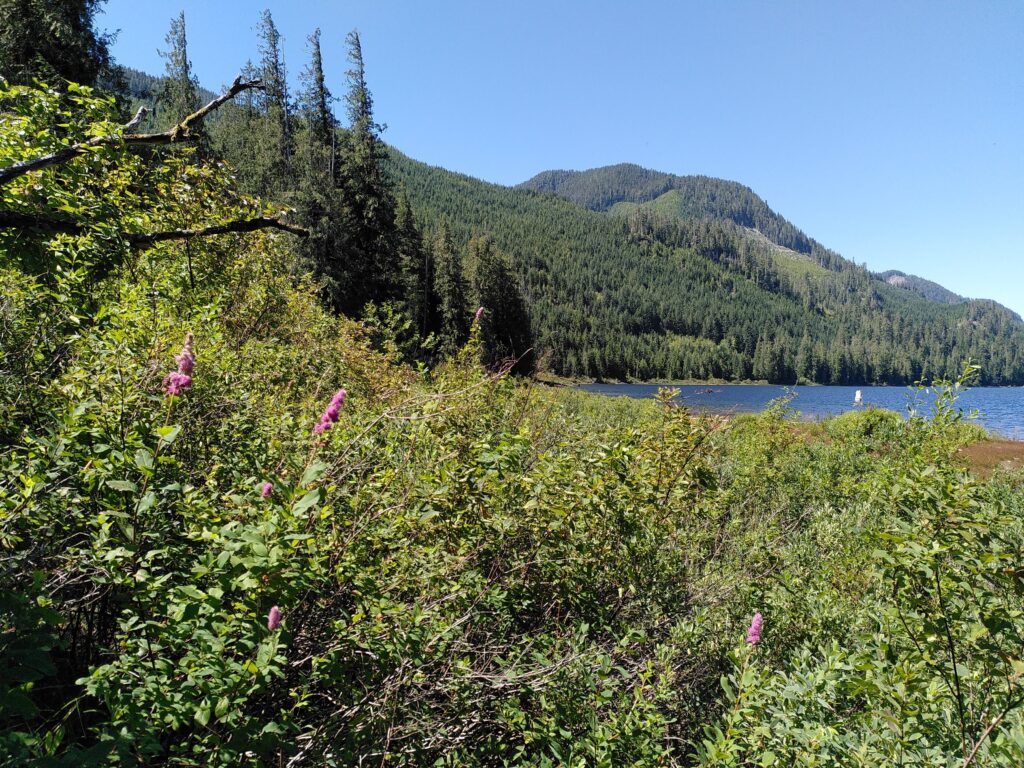
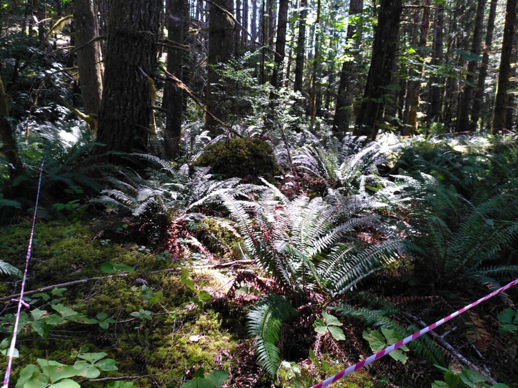
The ground-truthing campaign collected floristic and ecological data at specific points within the mapped area. Guided by the preliminary habitat maps, the basic goal of the fieldwork was to collect field data that would refine the remote mapping and train the model for application across the greater territory. The visuals that follow offer a glimpse into the unceded lands of the Mowachaht/Muchalaht First Nation. We are grateful for the opportunity to spend time on this beautiful territory, and to support the holistic re-indigenization of the lands and waters.
Temperate Rainforest: From ancient forests to various stages of regeneration
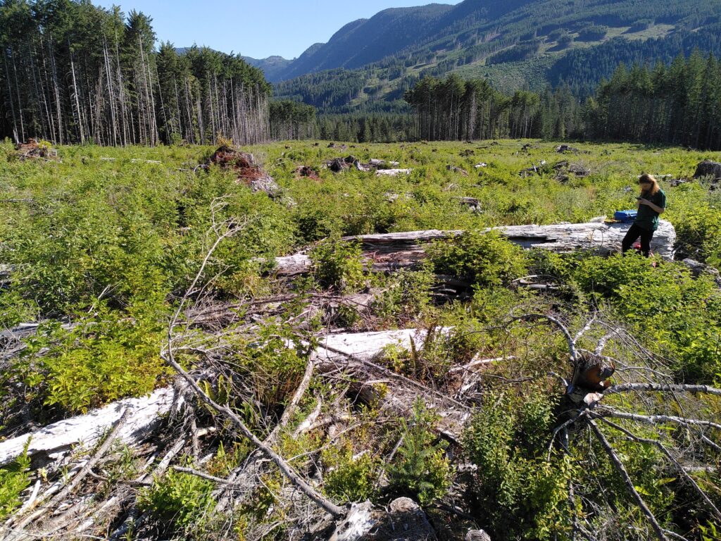
Productive, low elevation, old-growth temperate rainforests are among the most massive ecosystems on earth. Due to a combination of conditions, they accumulate tremendous volumes of biomass and carbon. Often, more than half of the total mass in these forests is in the form of dead trees, both vertical (snags) or horizontal (logs, stumps). Dominance by conifers distinguishes North American temperate rainforests from other rainforests in the world.
As young forests grow into older ones, they pass through a series of characteristic development stages, where old growth is the final stage of forest development. On MMFN territory, the main trees are western hemlock (Tsuga heterophylla), Douglas fir (Pseudotsuga menziesii) and western red cedar (Thuja plicata). In this biogeoclimatic zone, Douglas fir is fast-growing and shade intolerant (maximum age known: 1,300 years, and 100 m tall), often colonizing after disturbance like fire. However, the climax tree is the shade tolerant western hemlock (maximum age known: 1,238 years, and 75 m tall).
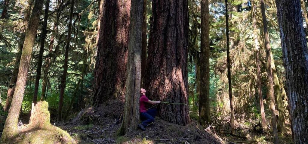
In addition to vegetation surveys, we collected tree measurements, like height and diameter at breast height (dbh). The Douglas fir in the image above measured 5.40 m dbh and was likely between 70-80 m tall. Tree height could only be measured for trees whose top was visible through the canopy, and with sufficient distance for the clinometer to grant an accurate reading. This was tricky in many cases, especially in forests with complex understories.
Films for Inspiration
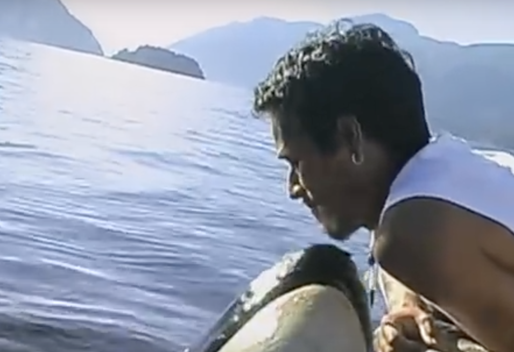
We were very fortunate, also, to have spent a full day on the land with Jamie James, a young MMFN knowledge keeper. Jamie knows the territory better than anyone and holds many technician accreditations. He was very generous with his knowledge, understanding, skills and good nature, and a delight to work with. Knowledge and skills aside, Jamie is even more impressive for having spent several years caring for an orca! When a young orphaned whale, named Luna, took refuge in Muchalaht Inlet and wouldn’t leave, the MMFN designated Jamie as the whale’s human companion. The story is featured in two documentaries. One film, The Whale, is narrated by Ryan Reynolds. Check out the film by clicking on the image.
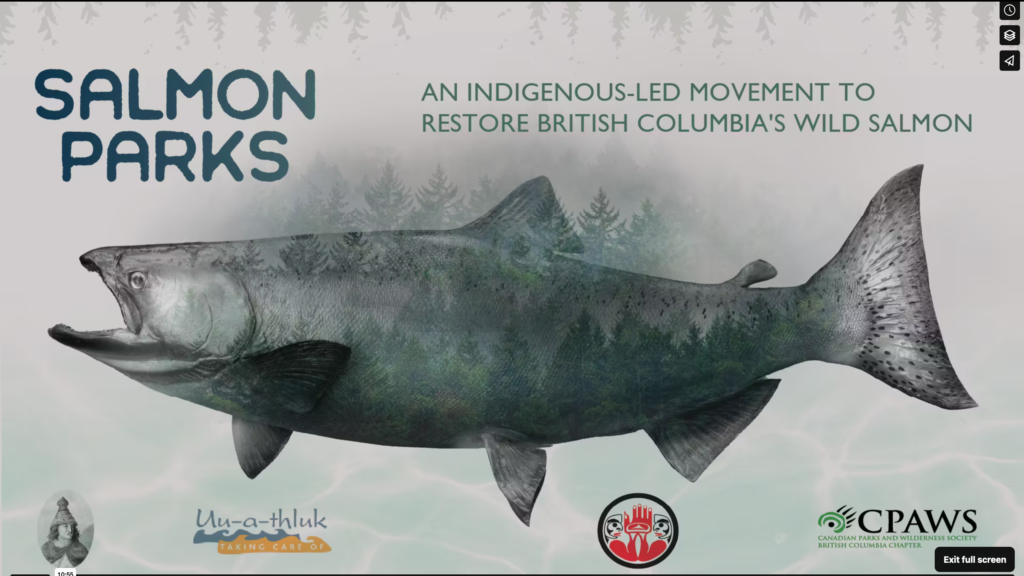
Lastly, we’d be remiss not to promote a fantastic short film by Carter Kirilenko about the Salmon Parks project. Check it by clicking the image below (or here). This 10-minute film is guaranteed to open your eyes (even if you already know a thing or two about salmon and forests!). We were pleased to meet Carter and his crew while in the field, as they are preparing a full documentary about the Salmon Parks project. Please consider sharing the film with your networks and look out for the next one.
Ecotone is committed to lifting up indigenous-led initiatives like this. May all First Nations communities successfully re-establish their sovereignty, title and rights. May their efforts receive all the support required for their success, and may reconciliation heal all wounds and injustices caused by colonialism.
If you’ve made it this far, thank for your interest! We love hearing from you; please leave a note in the comments! With much gratitude.
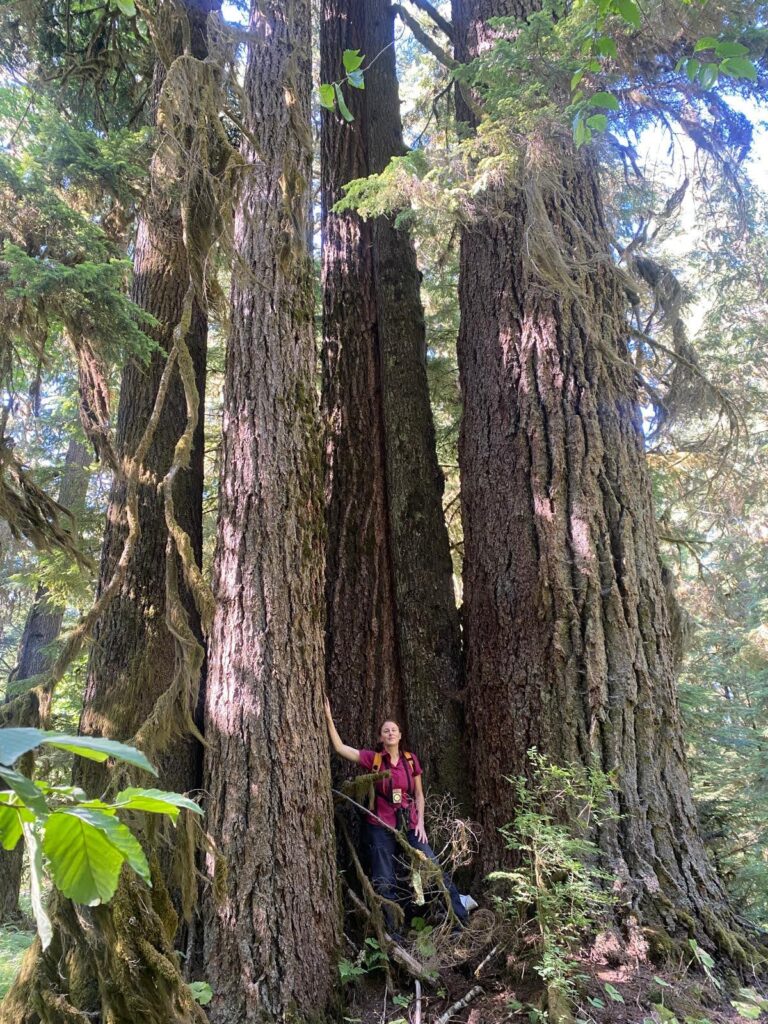
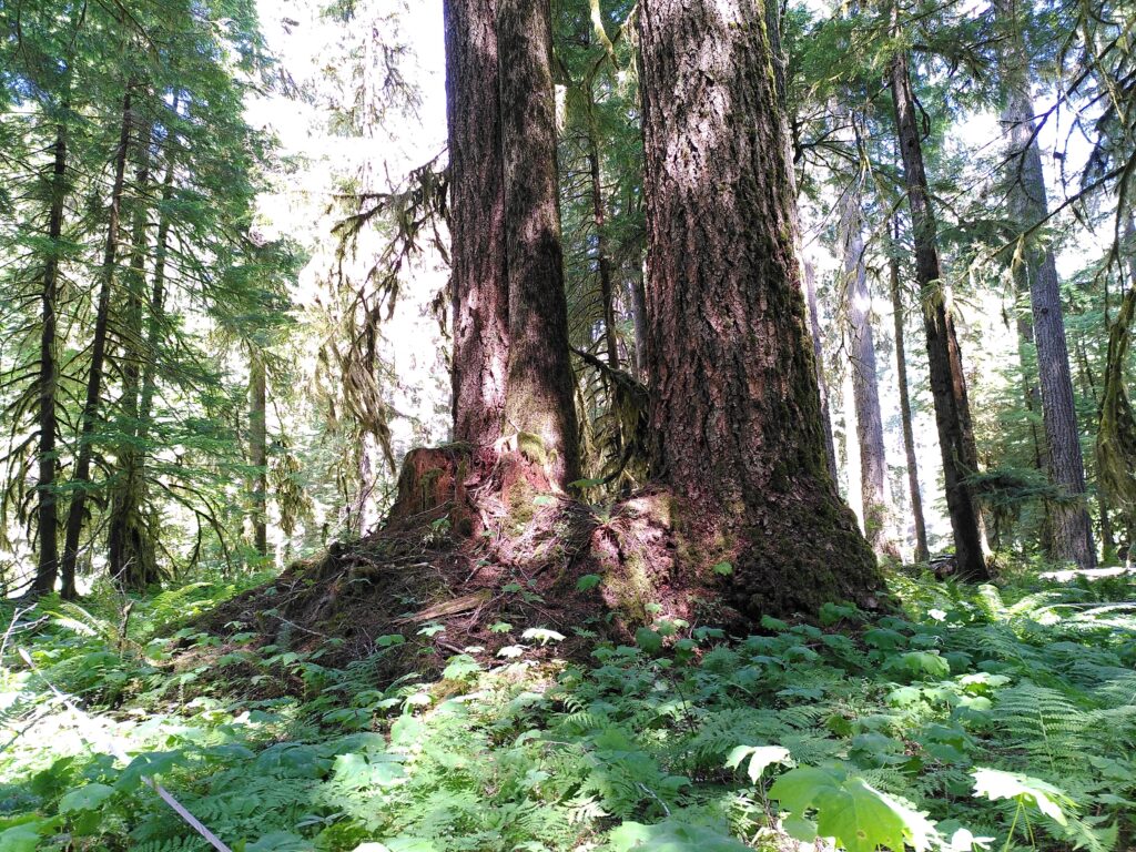
Tree island of veteran Douglas fir and western hemlock.
2 thoughts on “Ground-Truthing and Habitat Mapping for Salmon Parks”
Amazing work! I love it all… salmon parks, ground truthing, and honouring the wisdom of Nuu-chah-nulth knowledge, values and guiding principles. Well done.
Thank you, Kim! I echoe your feelings and greatly appreciate your sharing them here. One heart, one mind, with gratitude.